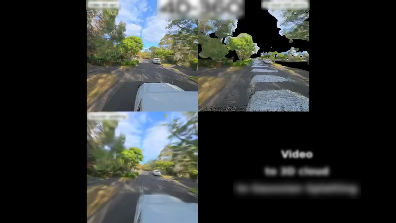
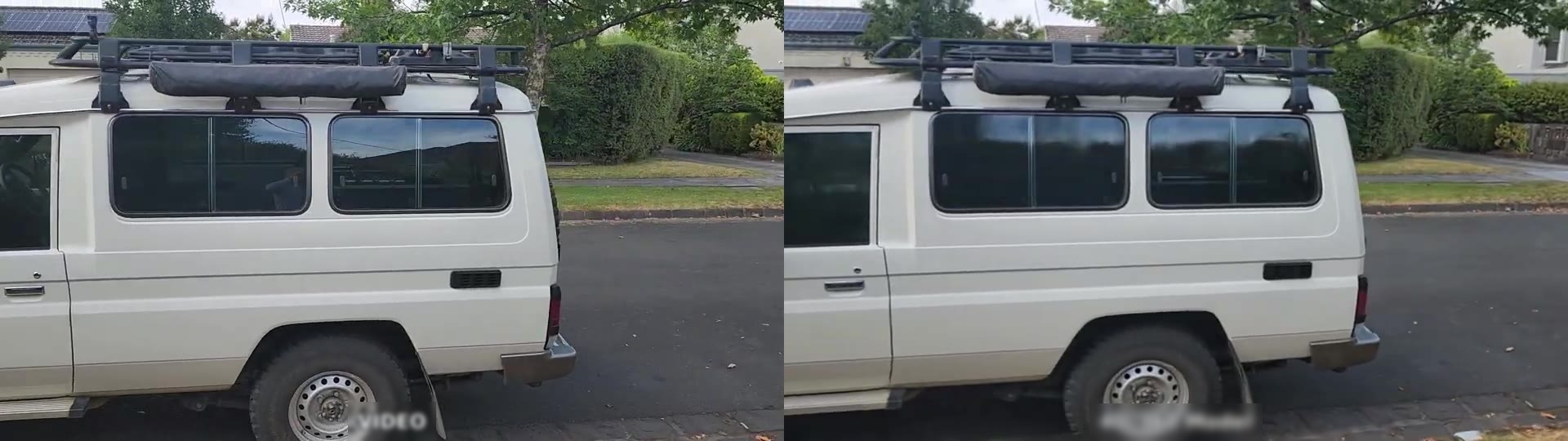
4D-360-AI

Videogalerie

Die gesamte 4D-360 Pipeline, von Anfang bis Ende.

Kurze Clips über das Erfassungssystem während der Fahrt, die KI-Merkmalsextraktions-Pipeline, den Schritt der GIS-Integration und eine Demo vom Smartphone zur Punktwolke. Jeder Clip wird inline abgespielt — keine externen Einbettungen, kein Empfehlungsbereich.

Capture 0:29

Capture

Drive a corridor with the roof-rack 360° camera + GPS rig. The footage is the raw material everything else depends on.
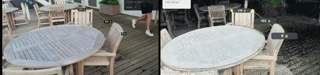
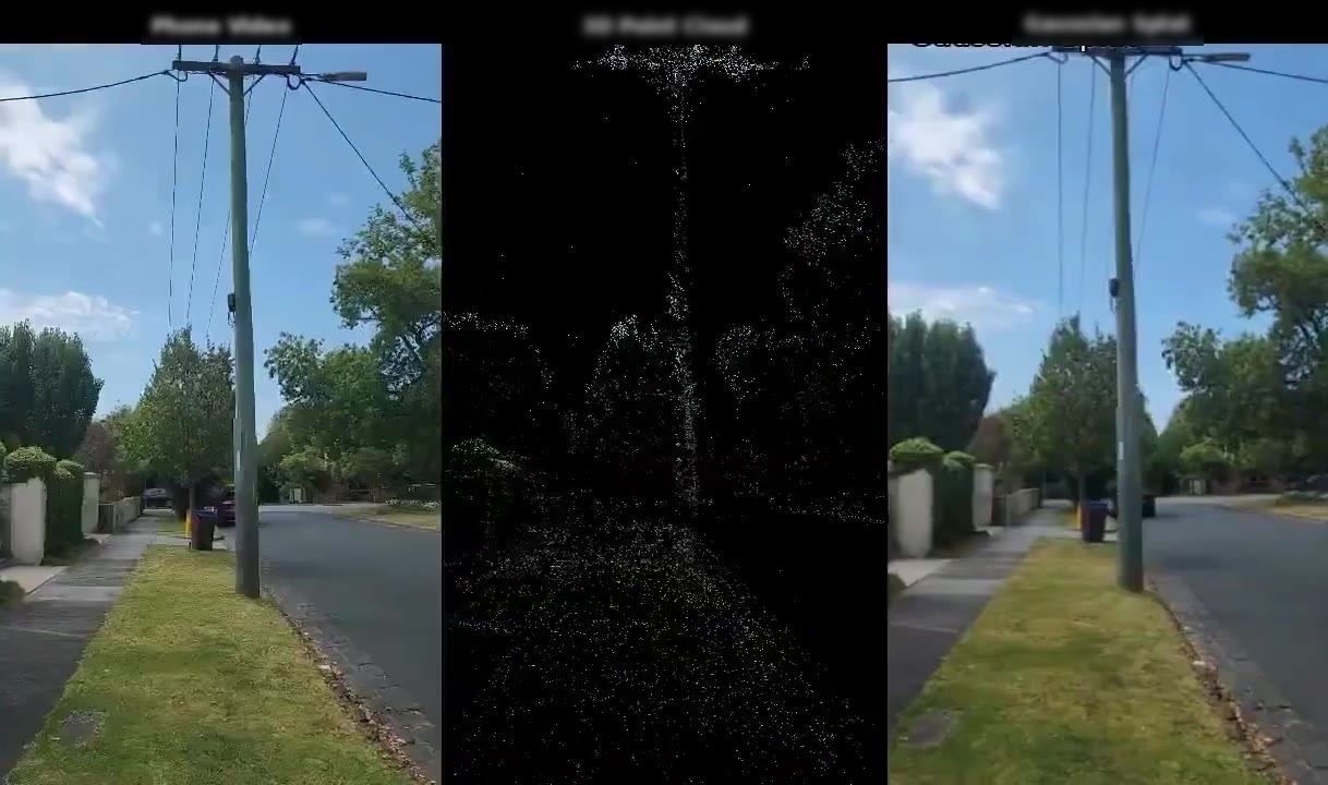
Feature Extraction 1:02

Feature Extraction

Turn the drive into point clouds, photo-real scenes, surface meshes, and asset inventories (poles, wires, vegetation).

GIS Integration

GIS Integration

Push detected assets into your enterprise GIS as proper typed records — not just imported geometry.

Phone Video → 3D Point Cloud 0:49

Phone Video → 3D Point Cloud

A single phone-camera pass around a parked vehicle, fed into the 4D-360 pipeline. The AI inspects every frame to pick the optimal reconstruction method, then produces a measurable, navigable 3D scene.