Finding every pole, sign and conductor: AI asset detection across the full 360°
A measurable point cloud tells you where surfaces are. It doesn’t tell you “that’s a transformer, and it’s leaning.” Turning geometry into an inventory is where 4D-360’s AI comes in.
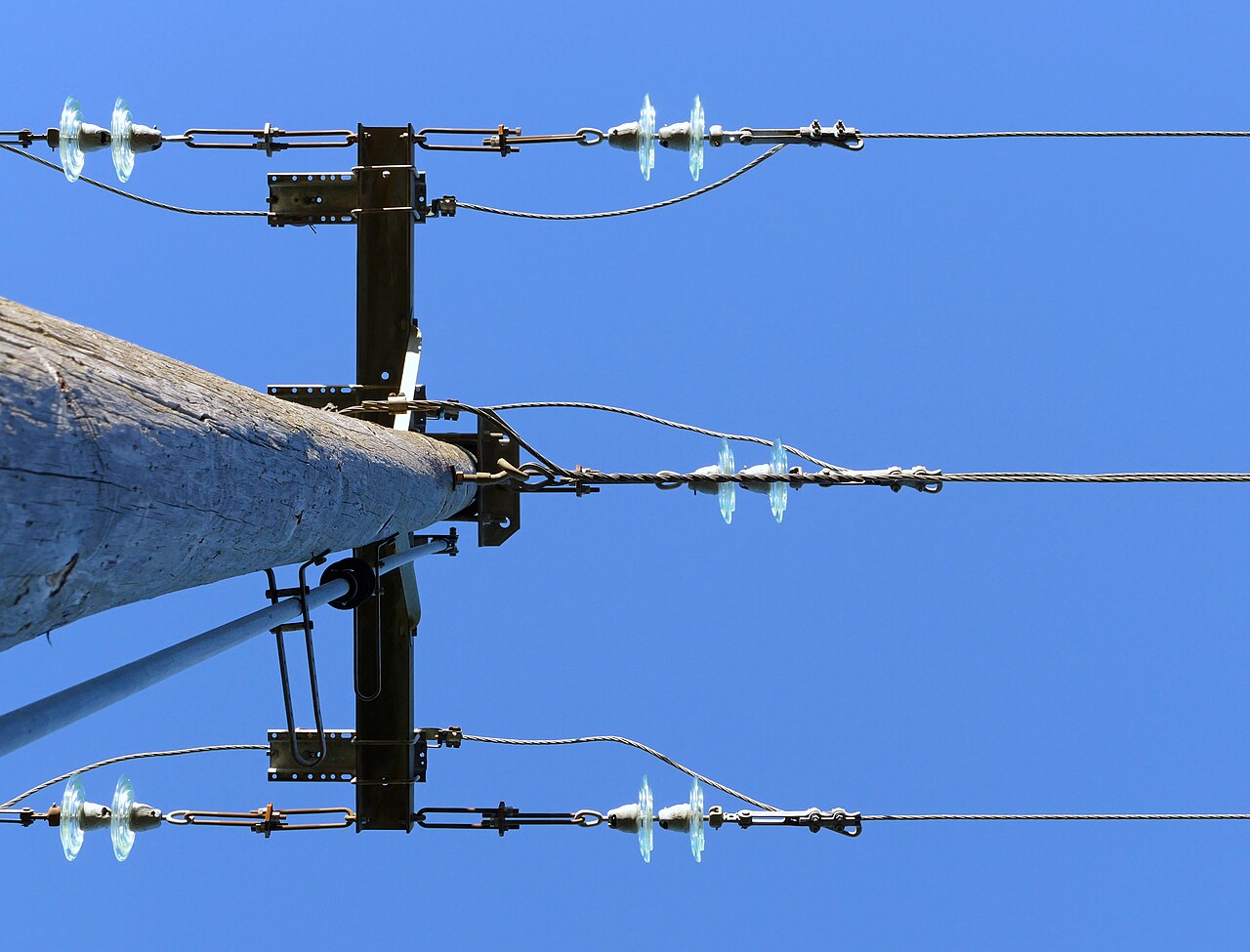
Because the capture is 360°, every asset on every side of the vehicle is recorded in a single pass — poles and conductors overhead, signs and meters at the kerb, manholes underfoot. The AI is domain-tuned for infrastructure, so it detects the classes that matter: poles, transformers, cross-arms, conductors, meters, signs, lights, trees.
Two things make the output trustworthy rather than noisy:
- Dedup across views. As you drive past a pole, it appears in 30-plus frames. The AI fuses those views into a single record with one position — not thirty duplicate detections.
- Confirmation against geometry. Each detection is checked against the point cloud, so a sign isn’t just a box in a photo — it has a real 3D position, height and dimensions.
The result is written 1:1 into your GIS feature classes — typed, attributed features (class, condition, dimensions, latitude/longitude/altitude) — with no custom importer. Your GIS stays the single system of record; we just keep it matching the field.
From there the inventory powers the rest of the platform: condition scoring and compliance for utilities, streetscape catalogues for cities, sign-and-clearance inventories for transport — and, on the next drive, automatic change detection.
See the detection step in motion in the feature-extraction video, or read how it serves each industry.
Want your network turned into a typed, current inventory? Talk to us.