A digital twin for utilities and telcos: pole-to-conductor inventory that matches the field
Power, water, gas, fibre and tower operators share one underlying need: a GIS that matches field reality, asset by asset. The reality is usually messier — landbases drift, inspections are manual, and compliance depends on data nobody fully trusts.
The costs add up fast:
- Truck rolls for pole, tower and conductor inspection run $200–$500 each.
- Landbase migrations from legacy GIS arrive riddled with positional errors.
- Vegetation encroachment forces constant manual ride-throughs to stay compliant.
- Smart-grid roll-outs stall on a spatial dataset nobody trusts.
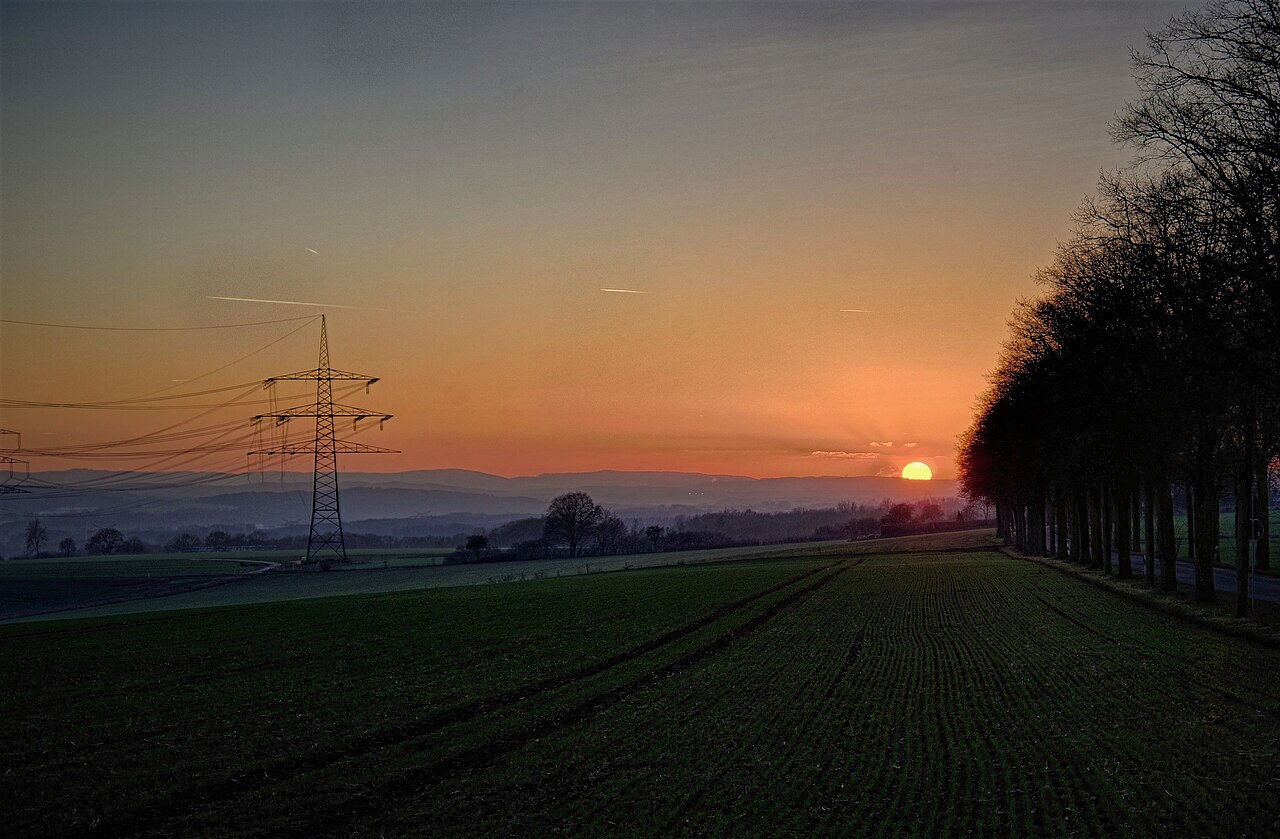
4D-360 replaces dozens of those site visits with one drive-by pass. A 360° camera and multi-band GPS capture the corridor; domain-tuned AI detects poles, transformers, cross-arms, conductors and meters; and constrained least-squares conflation cleans up the landbase migration. Detections are written 1:1 into your GIS feature classes — no custom importer — so your GIS stays the single system of record with no replatform risk.
The benefits compound:
- 70–90% reduction in field-crew hours per asset class.
- Per-asset condition scoring — rust, sag, clearance — feeding compliance reports.
- A monthly drive cadence replaces annual walk-by surveys, with automatic change detection turning each repeat into ready-to-dispatch work orders.
- Survey-grade geometry that stands up to regulator and audit scrutiny.
And because the point cloud is measurable in the browser, clearance checks — including vegetation-to-conductor — stop being a field trip.
It’s the same digital twin that serves smart cities and transport, tuned for the grid. See where it fits across the industries we serve.
Get in touch to scope a capture of your network.