Vegetation management from the same drive: canopy-to-conductor clearance
For utilities, vegetation is one of the biggest operational risks there is. Encroaching canopy causes outages, drives wildfire liability, and forces constant manual ride-throughs to stay compliant — work that is expensive, repetitive, and out of date the moment it’s finished.
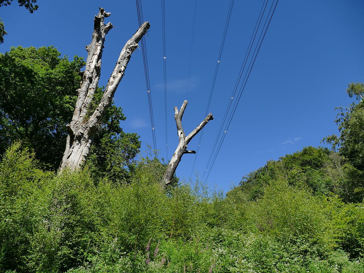
The insight behind 4D-360’s approach: the drive that builds your asset inventory already sees the vegetation too. There’s no separate survey — it’s the same pass.
Because the capture produces a metric, georeferenced point cloud, both the conductor and the canopy live in the same 3D scene with real coordinates. That makes the question that matters — how close is the vegetation to the line? — a measurement, not a judgement call:
- Canopy-to-conductor clearance computed directly from the cloud, span by span.
- Encroachment flagged where clearance falls below threshold — prioritised, not guessed.
- Change tracked drive-over-drive by automatic change detection, so regrowth is caught before it becomes a violation.
Instead of sending crews to ride the whole network looking for problems, you send them to the spans that actually need attention — with the clearance figure already in hand. That’s the difference between reactive compliance and a managed, always-current twin.
It’s one more thing the single drive delivers for utilities, cities and transport — measured, not walked.
Talk to us about clearance reporting from your next drive.