What is spatial conflation — and why your landbase needs it
Ask anyone who has migrated a legacy GIS landbase and they’ll tell you the same thing: the geometry arrives riddled with positional errors. Features are offset, stretched, and inconsistent — close enough to look right on a screen, wrong enough to fail in the field. A smart-grid roll-out or a network analysis built on that data inherits every error.
Conflation is the fix. It’s the process of aligning one spatial dataset to another — pulling your drifting landbase onto trustworthy ground truth — so that your features land where the assets actually are.
The naïve approach is a single global shift or rubber-sheet stretch, but that fails: drift isn’t uniform. One block is off by a metre north, the next by half a metre east. A blanket transform fixes one and breaks the other.
4D-360 uses rigorous constrained least-squares conflation instead. It solves for many local corrections at once, anchored to known-good control (the kind of survey-grade positioning a drive provides), so it can fix spatially-varying drift without distorting the parts that were already correct. The same machinery lets us fuse captures from different platforms — for example a car drive and a drone flight — into one consistent frame.
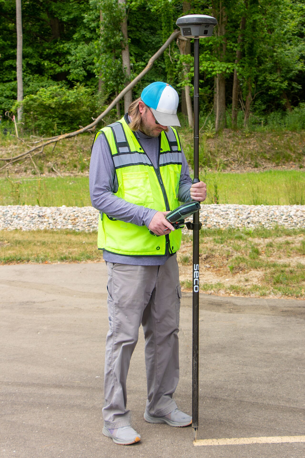
Where does the trustworthy ground truth come from? A drive-by capture: a metric, georeferenced point cloud and an AI-built asset inventory that you can conflate your landbase against, asset by asset.
For utilities and telcos especially, this is the difference between a spatial dataset nobody trusts and one that survives regulator and audit scrutiny.
Talk to us about cleaning up a landbase migration.