Trace network analysis: why data accuracy must lead your migration
Many utilities are migrating to a modern, connectivity-aware network model — one that supports real-time tracing, advanced analysis, and tighter integration with enterprise systems. It’s tempting to treat this as a technical upgrade. That mindset misses the opportunity.
Data accuracy should lead your migration strategy, not follow it.
Why accuracy is the whole point
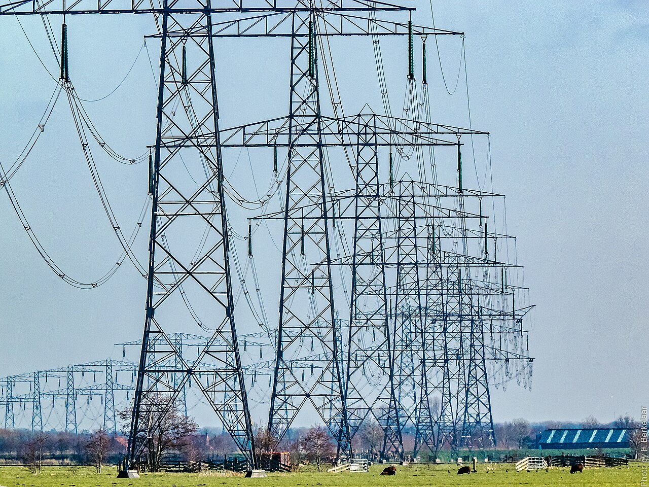
A modern network model is built for tracing: follow connectivity upstream and downstream to predict outages, calculate isolation, and drive automation. But even the most sophisticated tracing engine produces misleading results without accurate spatial and attribute data. Small misalignments, wrong attributes, or disconnected features cause faulty outage predictions, incomplete switching analysis, and integration failures with the systems that depend on the trace.
Migration is exactly the moment to fix this. Addressing accuracy as you move helps you:
- Eliminate connectivity gaps and inconsistencies
- Improve the reliability of every network trace and analysis
- Streamline integration with SCADA, AMI, and downstream platforms
- Lay the groundwork for automation and decision support
More than a clean-up
Prioritising accuracy during migration is a strategic investment, not housekeeping. For electric utilities it directly underpins ADMS readiness — real-time tracing is only trustworthy when the connectivity model is. It’s also the foundation for DER integration and hosting-capacity analysis, where every result rests on an accurate picture of what’s connected where. This is why GIS accuracy matters at the network level, not just the map level.
Clean it against the real world
The hard part is knowing ground truth. Legacy landbases drift; as-builts lag reality. The way to correct them is to compare the model against a field-accurate record of what’s actually in the ground and on the poles.
A survey-grade drive-by twin gives you that record from a single pass: a measurable point cloud and AI-detected assets written into your GIS, captured fresh from the corridor. Then spatial conflation rigorously aligns the legacy network to it — moving features to their true positions and closing connectivity gaps — so your migrated utility and telco model starts clean instead of inheriting decades of error.
Field trust follows accuracy
There’s a human payoff too. If crews see outdated or wrong data in the new system, they revert to legacy methods and the migration stalls. Accurate, current data earns the field’s trust — and that trust is what turns a new platform into daily practice.
See the twin in the video gallery, explore the industries we serve, and get in touch to clean your network before you migrate.